 Photo: Hoverfish · CC BY-SA 3.0
Uruguay Wine Road Trip
Link Montevideo’s nearby Canelones vineyards with Carmelo and Colonia on a three-day route designed around booked tastings and a designated driver.
- Allow
- 3–4 days
- Route
- 347 km
- Drive time
- 5 hr 27 min
- Stops
- 5
Uruguay’s wine country is dispersed rather than concentrated behind one famous gate. Canelones surrounds the capital with family bodegas and Tannat; farther west, Carmelo folds vineyards into a quieter Río de la Plata landscape before Colonia supplies the final night.
The route works only when transport is part of the tasting plan. Appoint a non-drinking driver, book a local wine tour or arrange transfers from each base; a self-drive article should never disguise alcohol as a road-trip accessory.
The road, in one glance
Pinch or scroll with Ctrl / ⌘ to zoom
Drawing the route…
The route earns
its distance
Each pin is selected as a place to do something—not merely proof that you passed through.
 Photo: Eduardo Ruggieri · CC BY-SA 3.0
Montevideo
Use the capital for an introductory wine bar or guided tasting before asking the road to connect the regions.
Montevideo (, US also; Spanish: ), is the capital and largest city of Uruguay. As of the 2023 census, the city proper has a population of 1,287,452, making up about 36.8% of the country's total population, in an area of 201 square kilometers (78 sq mi). Montevideo is situated on the southern coast of the country, on the northeastern bank of the Río de la Plata.
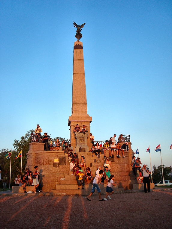 Photo: Hoverfish · CC BY-SA 3.0
Las Piedras wine country
Vineyards begin surprisingly close to the capital, with family producers and old cellars woven into Canelones’ working landscape.
Las Piedras is a city in the Canelones Department of Uruguay. As of the census of 2011, it is the seventh most populated city of the country. It gives the name to the municipality to which it belongs.
 Photo: Hoverfish · CC BY-SA 3.0
Canelones
The departmental capital anchors Uruguay’s largest wine region and makes a practical break between clustered tastings.
Canelones is the capital of the department of Canelones in Uruguay. Its name is derived from a species of cinnamon, which is called "canelón", growing along the banks of the homonymous river. Since 2010, the city is also the seat of the municipality of Canelones.
Photo: Hoverfish · CC BY-SA 3.0Carmelo
River beaches, small bodegas and olive groves make Carmelo feel like a retreat rather than a tasting checklist.
Carmelo is a small river city in western Uruguay near the confluence of the Arroyo de las Vacas and Río de la Plata. Vineyards, old bodegas, beaches and a swing bridge give it a slower wine-country character than nearby Colonia del Sacramento.
 Photo: JGHowes , photographer ( Canon AE-1 camera). · Attribution
Colonia del Sacramento
Finish with a car-free evening in the historic quarter, where dinner and river light bring the route back to walking pace.
Colonia del Sacramento (Spanish:; Brazilian Portuguese: Colônia do Sacramento; European Portuguese: Colónia do Sacramento) is a city in southwestern Uruguay, by the Río de la Plata, facing Buenos Aires, Argentina. It is one of the oldest towns in Uruguay and the capital of the Colonia Department. As of the 2023 census, it has a population of around 32,174.
Drive the conditions,
not the itinerary.
Do not taste and drive. Book a tour, transfer or sober driver, and confirm every winery appointment directly before setting out.
Checked against
the people who run it
Distances and driving times are planning estimates. Conditions, closures, ferries, permits and park rules can change, so check the linked official guidance before setting out.